
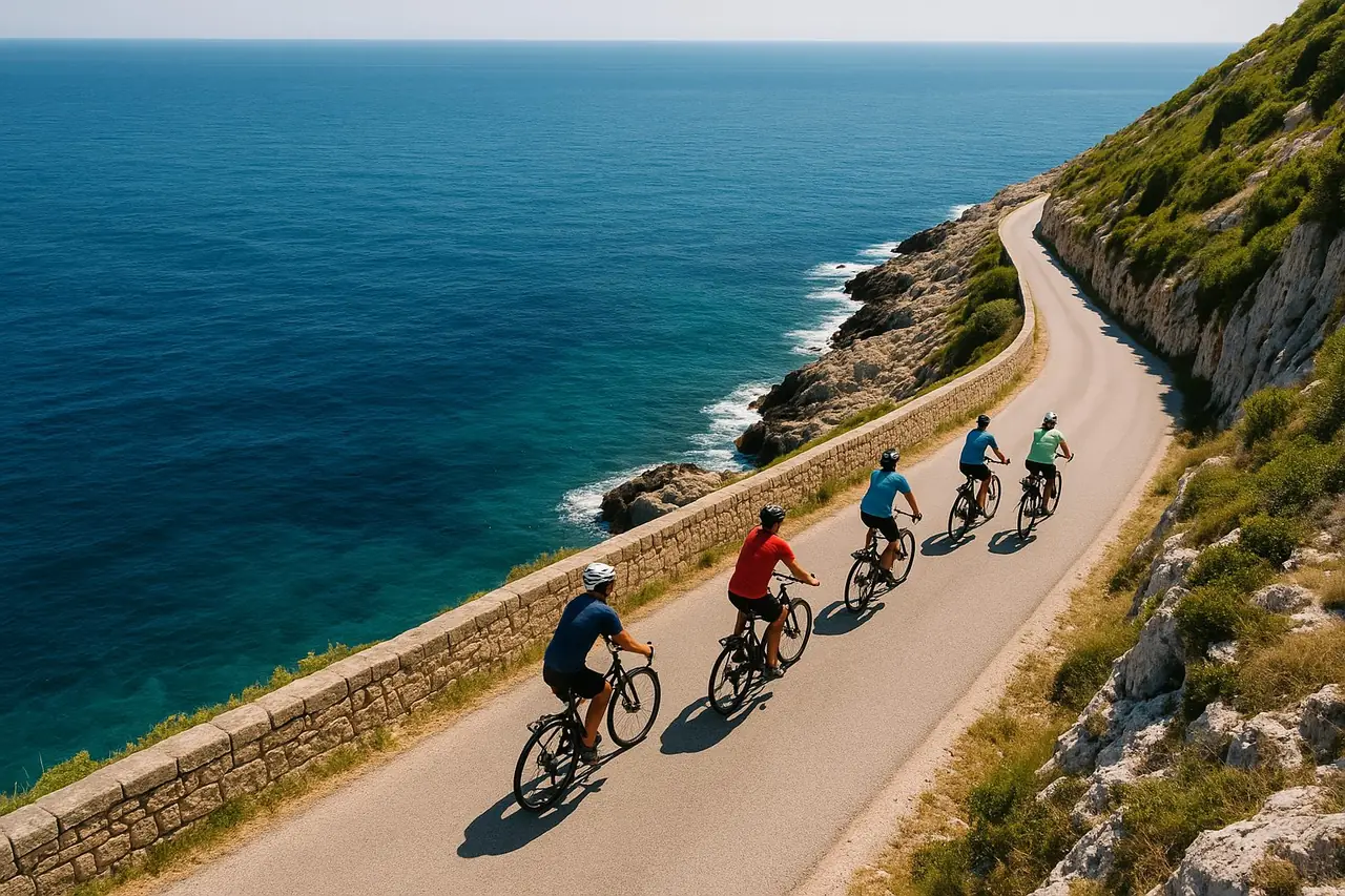
Bike routes from Lecce: 6 day rides across Salento, with GPX
Six routes we ride ourselves, from a flat 20 km run to the sea to a 58 km crossing to Gallipoli. Distances, surfaces, the right bike, and a GPX track for each.
By Eugenio TommasiUpdated 14 September 2026 8 min read
- Six routes from Lecce, ridden and checked by us
- Distance, surface and suggested bike for each route
- GPX track included with any rental
- Pickup in Lecce at Via Francesco Ribezzo 2D
Lecce is the most practical base for cycling in Salento: the land is flat, the secondary roads carry little traffic once you leave the ring road, and two different coasts sit 20 to 40 km away — the Adriatic to the east, the Ionian to the west. Everything below is a route we have ridden ourselves, with the distance, the surface and the bike that suits it.
Six routes, from a 20 km morning along the shore to a 58 km crossing to Gallipoli. A GPX track is available for every one of them: you receive it with any rental or with a self-guided itinerary, at no extra cost.
1. Lecce – San Cataldo – Frigole
| Detail | Value |
|---|---|
| Distance | 20.5 km (12.7 miles) |
| Elevation | 117 m |
| Surface | Asphalt, with two short sections of compacted gravel near the coast |
| Bike | Road or gravel — gravel is more comfortable on the unpaved stretches |
| Good for | A first morning on the bike, or a flat warm-up before longer days |
| Not for | Anyone looking for distance or climbing |
The shortest way from the city to the sea: out towards Torre Specchia, then along the shore through San Cataldo and Frigole, past the edge of the Riserva Naturale Statale Le Cesine, a coastal wetland managed as a WWF oasis in the comune of Vernole.
Flat the whole way, with a long straight seafront stretch where the sea breeze decides how hard the ride feels. Go out early: the same road is busy with beach traffic on summer afternoons.
Distance and elevation from the published Torre Specchia–San Cataldo–Frigole route on piste-ciclabili.com. Part of the route runs near the Torre Veneri military firing range, which can close to the public during exercises — check before you set out.
2. Lecce – Acaya – Le Cesine reserve – Lecce
| Detail | Value |
|---|---|
| Distance | About 30 km |
| Elevation | Flat |
| Surface | Asphalt on quiet secondary roads |
| Bike | Road, gravel or e-bike |
| Good for | A half day mixing a fortified village with a nature reserve |
| Not for | Riders who want to reach a beach quickly |
A loop east of the city that takes in Acaya, the small fortified village with its sixteenth-century castle and walls, then the edge of the Le Cesine wetland reserve before turning back inland to Lecce.
The roads are narrow and almost empty between the villages, and the whole loop is flat. It is the easiest of the six to shorten or extend, because you can turn back at any point along the way.
3. Lecce – Calimera – Grecìa Salentina loop
| Detail | Value |
|---|---|
| Distance | About 40 km |
| Elevation | Flat |
| Surface | Asphalt, quiet roads between villages |
| Bike | Road, gravel or e-bike |
| Good for | Villages, olive groves and dry stone walls rather than the sea |
| Not for | Anyone who wants to swim at the halfway point |
South-east of Lecce lies the Grecìa Salentina, the group of villages where Griko, a language of Greek origin, is still spoken. Calimera is on the loop and is also one of our three pickup points, at Via Roma 163.
Expect long stretches of olive groves, dry stone walls and stone-paved village centres, with a bar in every village for a coffee stop. No climbs, no traffic to speak of, and plenty of shade in the morning.
4. Lecce – San Foca – Torre dell'Orso – Sant'Andrea and back
| Detail | Value |
|---|---|
| Distance | About 50 km |
| Elevation | Gentle, no real climbs |
| Surface | Asphalt, coast road |
| Bike | Road, gravel or e-bike |
| Good for | The Adriatic coast in a single day, with swimming stops |
| Not for | A first ride if you are not used to 50 km |
Straight out to the coast at San Foca — our second pickup point, at Via D'Annunzio 13 — then north along the shore past Torre dell'Orso and the sea stacks at Sant'Andrea, before returning inland to Lecce.
This is the classic Adriatic day out of Lecce: watchtowers, small bays and clear water, with the option of leaving the bike for a swim. The coast road is shared with cars, so ride it early in July and August.
5. Lecce – Otranto on the Via Francigena del Sud
| Detail | Value |
|---|---|
| Distance | About 45 km |
| Elevation | Gentle rises inland |
| Surface | Mixed: asphalt and compacted gravel sections |
| Bike | Gravel or e-bike — a road bike is workable but less comfortable |
| Good for | A point-to-point ride, back by train or with a one-way rental |
| Not for | Narrow road tyres, or riders who need a signposted route |
The southern branch of the Via Francigena runs from Lecce inland through Martano and the Grecìa Salentina before dropping to the sea at Otranto. We publish the stage tracks for Lecce–Martano and Martano–Otranto, so you can ride the section as one day or split it in two.
Otranto makes a natural finish: the cathedral with its mosaic floor, the harbour and the old town are all a short walk from where the route ends. Ask us about a one-way return if you would rather not ride back.
6. Lecce – Gallipoli via Leverano, Porto Cesareo and Santa Caterina
| Detail | Value |
|---|---|
| Distance | 57.9 km (36 miles) |
| Elevation | 152 m |
| Surface | Mostly quiet paved roads, with a short unpaved section |
| Bike | Road or gravel |
| Good for | Crossing Salento from one coast to the other |
| Not for | A short morning ride, or riders who dislike long open stretches |
The Ionian direction: west out of Lecce through Leverano, then to the sea at Porto Cesareo and along the coast through Santa Caterina to Gallipoli. Coast to coast, and the longest of the six.
Water refill points are spread out between Leverano and Porto Cesareo, so fill up before that stretch. Data from Bikemap, verified August 2026.
Beyond Lecce: Otranto – Santa Maria di Leuca
Not a ride out of the city, but the best-known stretch of asphalt in Salento, and the one most people ask about: 52.6 km with 430 m of elevation along the coast road south of Otranto (SP358, last 8 km on SP87), highest point around 125 m near Torre Nasparo. Continuous gentle rises and drops, no long climbs, and the most exposed coast of the peninsula. Distance and elevation from bici.style. Start it from Otranto, reached from Lecce by train or with a one-way rental.
Which bike for these routes
Road bike. Ideal for routes 4 and 6 and for the coast road south of Otranto: all asphalt, and the flat terrain rewards narrow tyres.
Gravel bike. The most flexible choice here. It handles the compacted gravel on routes 1 and 5 and is still fast on asphalt, which makes it the default suggestion if you only pick one bike.
E-bike. Useful on the longer routes, on windy days along the coast, and for mixed-ability pairs riding together. It turns route 6 or the Otranto–Leuca coast into a comfortable day.
See the full fleet, sizes and prices on our bikes.
GPX and roadbook
A GPX track for these routes comes with any rental and with any self-guided itinerary, at no extra cost. Tell us which routes you want and we send the files before you arrive.
The tracks open in Komoot, Ride with GPS, Garmin and Wahoo. Every bike has a phone holder, and if you ride with a Garmin or a Wahoo we load the routes onto the device at pickup.
Prefer something built around your own dates, distance and stops? Want the route built around you, with stops and phone support? — that is the self-guided format, with the GPX, a roadbook and my phone number for the whole ride. If you only need the bike, see bike rental in Lecce.
Contact our team
Tell us your dates and where you are staying — we'll confirm availability, delivery and the final price.
Accepted payments




- Cash
You pay when you collect the bike: cash, credit or debit card, Apple Pay, Google Pay or bank transfer.
FAQ
- Are these routes signposted?
- No. Apart from the Via Francigena, which carries its own waymarks, these are shared public roads with no cycling signage. That is why the GPX track matters: you follow it on your phone or on a bike computer rather than looking for signs.
- Which route is the easiest?
- Lecce – San Cataldo – Frigole, at 20.5 km and 117 m of elevation. It is flat, short and close to the city, so you can turn back at any point. Lecce – Acaya – Le Cesine, at about 30 km, is the next step up.
- Which route has the most climbing?
- None of the six has a real climb. The most elevation is on the Lecce–Gallipoli route, 152 m spread over 57.9 km. If you want continuous ups and downs, the coast road from Otranto to Santa Maria di Leuca has 430 m over 52.6 km.
- Can I ride these routes on an e-bike?
- Yes, all six. The e-bike is the easiest choice for the 50 km coastal route, for the crossing to Gallipoli and for windy days along the shore. Charge overnight and one battery covers a full day at these distances.
- Where do I pick up the bike in Lecce?
- At Via Francesco Ribezzo 2D, Lecce. San Foca (Via D'Annunzio 13) and Calimera (Via Roma 163) are the other two pickup points, and all three are free. Delivery elsewhere is possible and is priced by distance.
- Are the GPX files free with a rental?
- Yes. The GPX tracks for these routes are included with any rental and with any self-guided itinerary, at no extra cost. Tell us which ones you want and we send them by email or WhatsApp before you arrive.
Tell us which routes you want to ride. We confirm the bike and the size, send the GPX tracks before you arrive, and set the pickup point in Lecce, San Foca or Calimera.